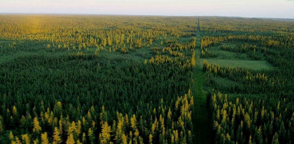
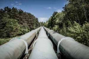
Now, a new approach to pipeline route planning is helping to gain a better outcome for the natural environment as well as people in the area.
In the past, pipeline routes were chosen largely through marking the start and end points on a map, using a ruler to draw a straight line between them to show the proposed route, and then adding necessary deviations from that line due to factors such as topography and other technical factors. Then the company would seek permission for that route, accepting further deviations if required.
This “design first, seek permission later” approach is increasingly untenable, as there is growing public attention about the need to plan resource extraction in a way that protects vulnerable species of plants and animals, as well as their habitat. Additionally, communities that are affected by a pipeline route are concerned about potential impacts to their way of life, even as they welcome the economic spinoffs that may come from the development. Pipeline development and route planning must balance all impacts to find the best possible solution for all concerned.
Computer-based modelling can deliver a transparent pipeline planning process. These systems, like Golder’s proprietary GoldSET ® package, use Geographic Information Systems (GIS) data including wildlife habitat, human settlement, watercourses and topography.
Understanding and addressing environmental, social, economic and technical risks involves researching constraints and opportunities, creating a network of routing possibilities, engaging in meaningful consultation, and looking for the win-win.
Learn more about how Golder’s GoldSET® software can help provide transparency in the planning process to build community support.


